



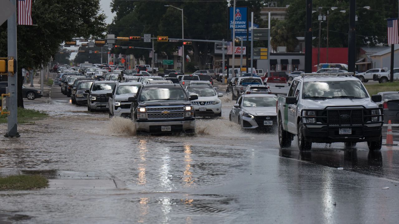
UVALDE, Texas — Life-threatening flash flooding continued to batter southern Texas early Thursday as another round of slow-moving storms dumped torrential rain across already saturated communities, prompting the National Weather Service (NWS) to issue its highest-level Flash Flood Emergency for parts of Texas Hill Country.
The dangerous flooding comes just one year after the region experienced one of the deadliest flood disasters in state history. Officials warned that rising rivers, widespread water rescues, and mandatory evacuations could continue as heavy rain persists through Friday.
Flash Flood Emergency Issued as Rivers Rise Rapidly
The National Weather Service issued a Flash Flood Emergency for parts of Texas Hill Country and Uvalde County, warning that flooding was already underway with water entering homes and swift-water rescues escalating.
“Flash flooding is already occurring with evacuations, escalating water rescues, and water beginning to enter structures,” the National Weather Service said in its emergency warning.
Officials reported that the Guadalupe River surged more than 10 feet in just one hour, while rainfall totals reached 20 inches in some areas since the storms began earlier this week.
Dozens Rescued as Mandatory Evacuations Continue
Emergency crews have carried out more than 75 water rescues statewide, according to Texas Governor Greg Abbott, while at least 36 people were rescued in Uvalde County alone.
Residents in the hardest-hit parts of Uvalde remain under mandatory evacuation orders as floodwaters continue to rise. Authorities said flooded roads and rapidly overflowing creeks have made travel extremely dangerous.
“We are dealing with and responding to a flood that is likely going to break records in Texas history,” Governor Abbott said during a Wednesday evening news conference, adding that no fatalities had been reported.
Boerne and Medina County Also Hit Hard
Flooding extended well beyond Uvalde, with Boerne, northwest of San Antonio, also placed under a Flash Flood Emergency after Cibolo Creek overflowed its banks.
City officials said emergency responders handled more than 100 service calls, conducted 36 water rescues, and evacuated residents from flooded apartment complexes into emergency shelters.
“This is a life-threatening weather event. I don’t want to mince words about how serious this situation is,” said Chris Shadrock, the city’s director of communications and civic engagement.
Additional rescues were also reported in Medina County and the community of D’Hanis, where shelters were opened for evacuated residents.
More Heavy Rain Expected Through Friday
Forecasters warned that the flooding threat is far from over. Parts of southern and central Texas could receive several more inches of rain through Friday, with storms capable of producing 2 to 4 inches of rainfall per hour.
Because many areas have already received between 10 and 20 inches of rain, even modest additional rainfall could trigger severe flash flooding. The Weather Prediction Center continues to warn of dangerous flooding across communities stretching from Del Rio to San Antonio, while localized flooding remains possible farther east toward Houston.
Meteorologists say the combination of Gulf moisture, a stalled weather front, and slow-moving thunderstorms continues to create ideal conditions for repeated heavy rainfall.
Officials are urging residents to stay off flooded roads, monitor emergency alerts, and evacuate immediately if instructed. With rivers and creeks expected to remain dangerously high, emergency crews continue to respond around the clock as one of Texas’ most significant flooding events in recent years unfolds.
What are your thoughts on the repeated flooding emergencies affecting Texas? Should more be done to improve flood preparedness in vulnerable communities? Share your thoughts respectfully in the comments below.