



RALEIGH, N.C. — Severe thunderstorms and a growing flash flood threat are expected to impact parts of the Mid-Atlantic and the Carolinas on Wednesday as a slow-moving cold front combines with tropical moisture from Tropical Storm Bertha, raising concerns about heavy rainfall and dangerous flooding.
Forecasters say the greatest risk will shift into southern Virginia and North Carolina, where repeated rounds of thunderstorms could dump several inches of rain in a short period. While damaging winds remain possible, meteorologists warn that flash flooding is expected to pose the most significant threat through the middle of the week.
Flash Flooding Becomes Primary Concern
According to the FOX Forecast Center, showers and thunderstorms will continue developing as the cold front slows near the Carolinas, allowing deep tropical moisture associated with Tropical Storm Bertha to stream into the region.
“This setup could lead to repeated rounds of heavy rainfall,” forecasters said, warning that saturated conditions may quickly lead to flash flooding in vulnerable communities.
The combination of a stalled front and abundant tropical moisture is expected to increase rainfall totals, particularly across eastern North Carolina.
Severe Storm Risk Extends Across Virginia and North Carolina
The Storm Prediction Center (SPC) has placed parts of southern Virginia and North Carolina under a Level 2 out of 5 severe weather risk on Wednesday.
Meteorologists say the strongest storms could produce damaging wind gusts, capable of downing trees and power lines. However, officials emphasize that flooding—not severe wind—will likely have the greatest impact as storms repeatedly move over the same areas.
Residents are urged to remain weather-aware throughout the day as conditions can change rapidly.
Eastern North Carolina Faces Highest Rainfall Risk
Forecasters identify Raleigh, communities east toward the Outer Banks, and much of North Carolina’s coastline as the areas most vulnerable to flooding.
The threat also extends south toward Wilmington and north into Virginia Beach, where heavy rain could overwhelm drainage systems and flood low-lying roads.
Some locations could receive more than 8 inches of rainfall before the storm system moves offshore, increasing the risk of dangerous flash flooding.
“The main concern will be flash flooding,” the FOX Forecast Center said, noting that repeated heavy downpours may develop over the same communities.
Flood Threat Could Increase Later This Week
The current excessive rainfall outlook places much of eastern North Carolina under a Level 2 out of 4 flood risk, but forecasters say that level could be upgraded if Tropical Storm Bertha strengthens or delivers additional moisture into the region.
By the end of the week, the cold front is expected to drift farther south, gradually shifting the heaviest rainfall away from inland communities and toward the Atlantic coastline.
While conditions may begin improving across interior North Carolina, the flood threat is expected to move from the Outer Banks toward parts of coastal South Carolina as the weather system progresses.
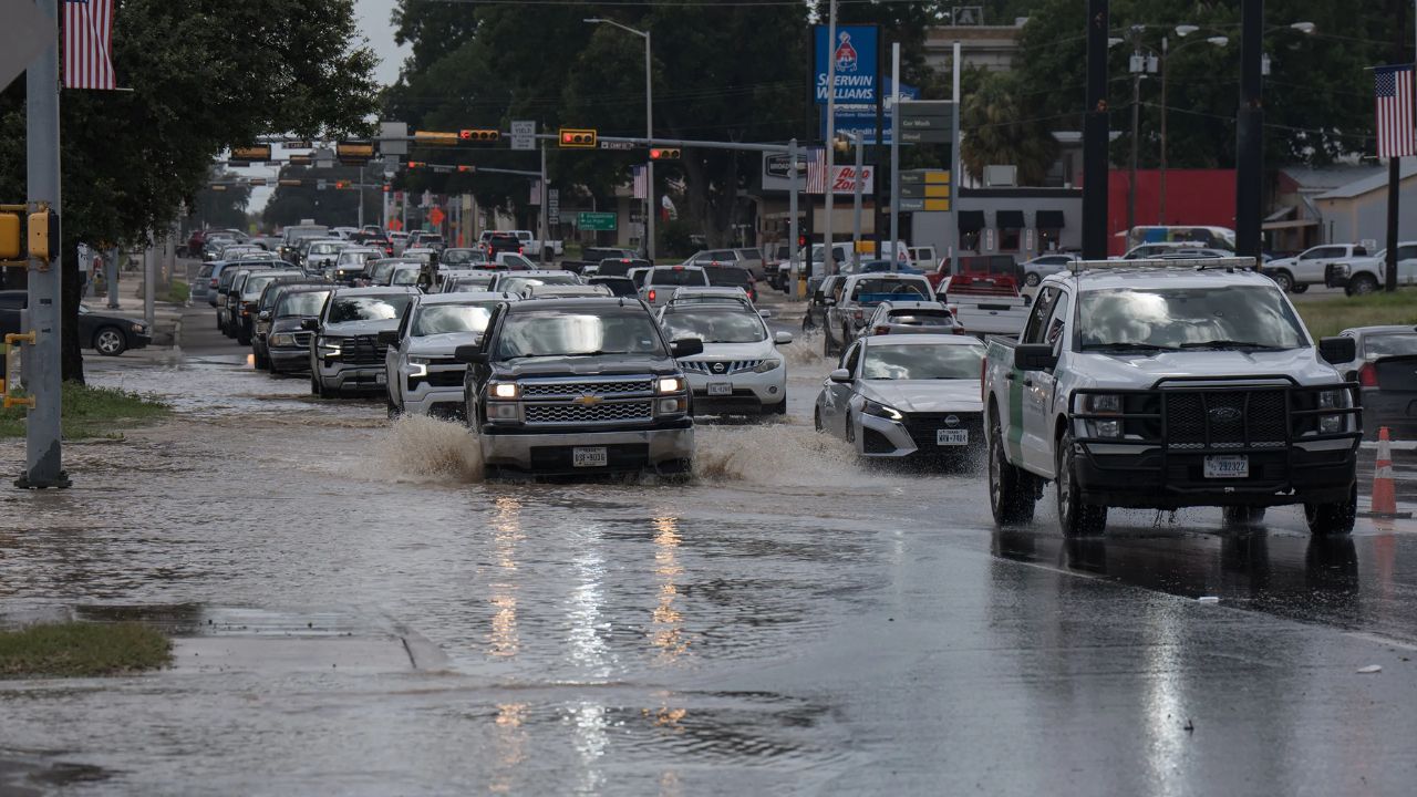
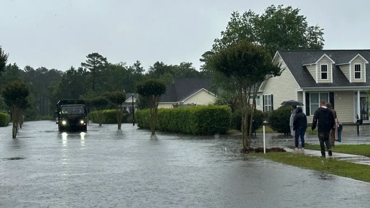
Emergency officials encourage residents in flood-prone areas to closely monitor forecasts, avoid driving through flooded roadways, and be prepared for possible flood warnings if rainfall intensifies.
What are your thoughts on the increasing number of extreme rainfall events affecting the Southeast? How should communities prepare for recurring flash flood threats? Share your thoughts respectfully in the comments below.