




LOS ANGELES, California — Southern California residents are getting a brief break from the recent scorching heat this weekend, but meteorologists say the relief will be short-lived as another warming trend is expected to develop by the middle of next week.
According to the National Weather Service (NWS), temperatures will remain near seasonal averages over the next few days before a strengthening high-pressure system brings hotter conditions back across much of the region. Meanwhile, coastal communities are also preparing for dangerous surf generated by Tropical Storm Elida, prompting a High Surf Advisory beginning Sunday afternoon.
Cooler Weekend Offers Temporary Relief
After several days of above-average temperatures, forecasters say weather conditions will stabilize through the weekend, bringing more comfortable temperatures to Southern California.
The National Weather Service said, “Temperatures are expected to change little over the next few days,” with most communities experiencing conditions that are close to normal for this time of year.
Daytime highs are expected to range from the 70s to low 80s along the coast, mid-80s to mid-90s across inland valleys and foothills, and 90s to around 100 degrees in desert areas.
Heat Expected to Return Next Week
The cooler weather is not expected to last long.
Meteorologists say an upper-level high-pressure ridge will gradually build over the region during the middle of the upcoming week, allowing temperatures to climb once again as cooling ocean breezes weaken.
Forecasters warned that moderate to high heat risk could develop by Wednesday and Thursday, increasing the possibility of Heat Advisories for several communities.
The National Weather Service said, “There is a moderate chance that Heat Advisories will be needed in some areas, including potentially near the coast.”
High Surf Advisory Issued for Coastal Areas
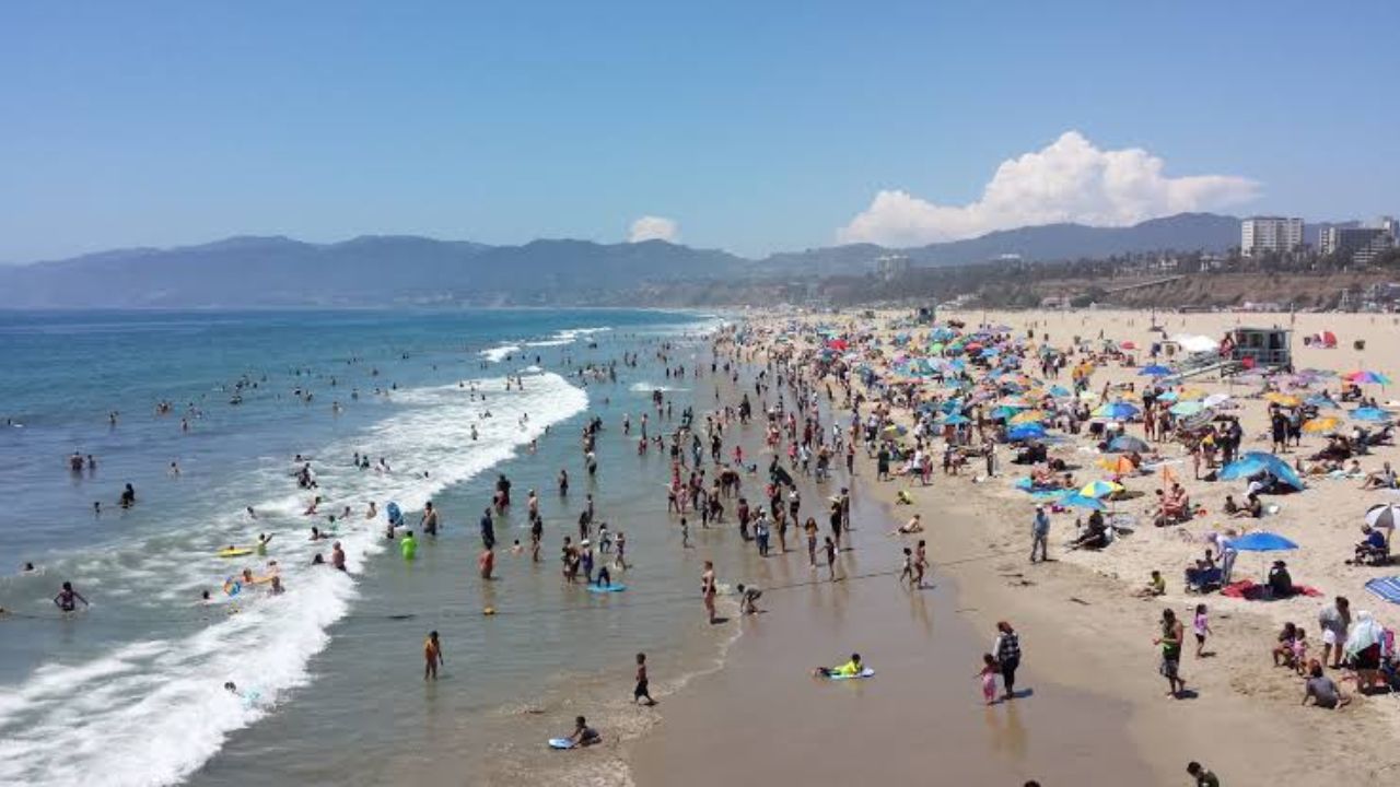
While inland communities prepare for rising temperatures, beachgoers are being urged to use caution as large waves generated by Tropical Storm Elida approach the Southern California coastline.
A High Surf Advisory will take effect Sunday afternoon and remain in effect through Tuesday night.
Forecasters say waves could reach up to eight feet, creating dangerous swimming conditions and increasing the risk of powerful rip currents along area beaches.
Officials recommend swimmers stay near lifeguard towers and avoid entering the water if conditions appear hazardous.
Tropical Storm Elida to Stay Offshore
Weather officials emphasized that Tropical Storm Elida is expected to remain well offshore west of Baja California and is forecast to weaken as it moves northward.
Although the storm is not expected to make landfall, some of its tropical moisture could reach parts of California.
According to the National Weather Service, “Sunday afternoon into late Monday morning, some of the moisture from Elida could reach the Central Coast,” bringing an increase in mid- and high-level clouds.
Forecasters do not currently expect significant rainfall, but they will continue monitoring the storm’s track and any changes in its strength.
Residents are encouraged to stay updated on the latest forecasts as Southern California transitions from this weekend’s milder weather back to hotter conditions later in the week.
What are your thoughts on Southern California’s changing weather pattern? Are you preparing for the return of the heat or planning to enjoy the cooler weekend while it lasts? Share your thoughts respectfully in the comments below.