



ATLANTA — A new round of heavy rain is expected to soak much of the southeastern United States beginning this weekend, with forecasters also monitoring the northeastern Gulf of Mexico for possible tropical development that could bring additional flooding to the region.
Meteorologists say widespread showers and thunderstorms will continue across the Southeast through midweek before weather conditions become even more favorable for heavy rainfall over the weekend. While the chance of a tropical system forming remains low, experts warn that residents along the Gulf Coast should continue monitoring forecasts.
Forecasters Watching Potential Tropical Development
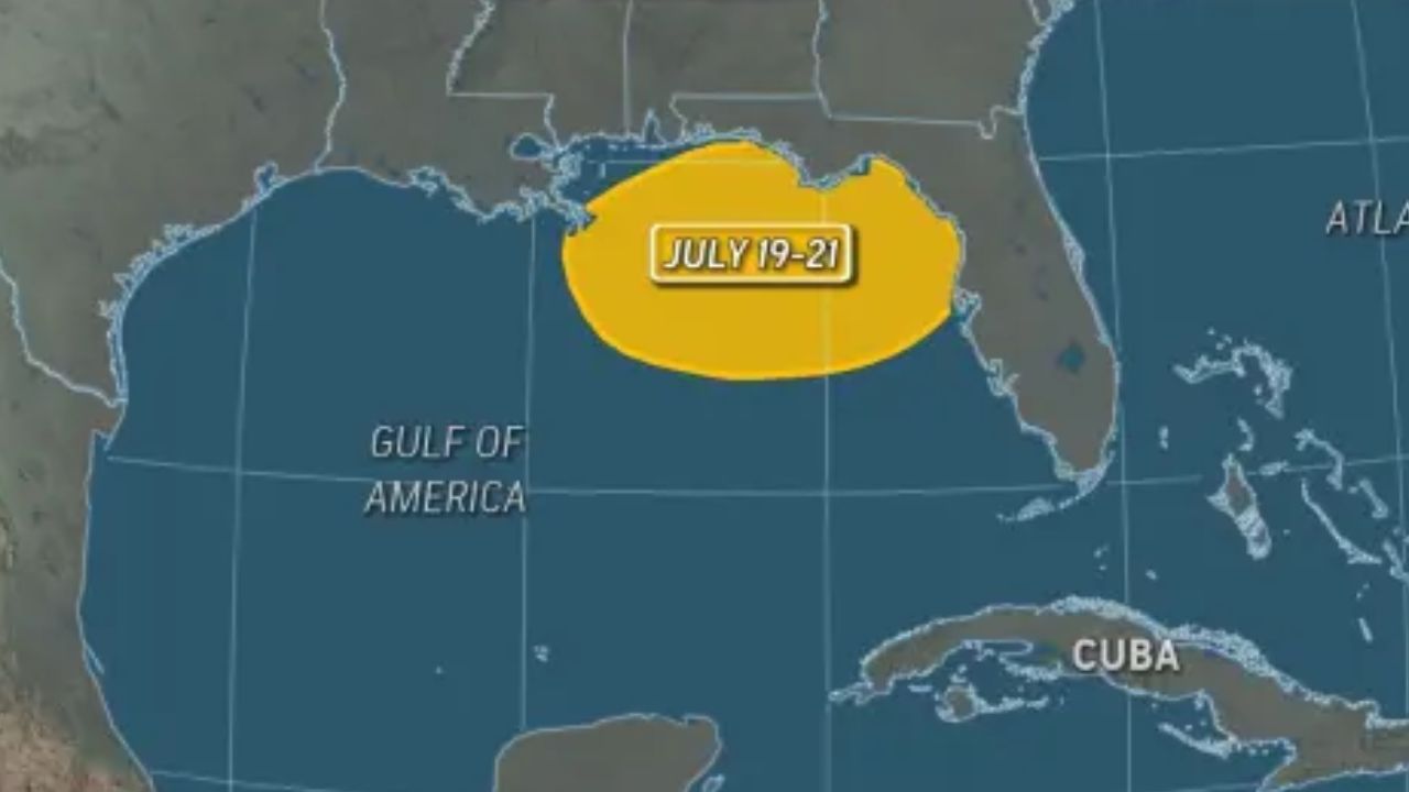
Weather models indicate that a low-pressure area could develop near or just off the northeastern Gulf Coast in the coming days. If the system becomes more organized and develops tropical characteristics, it could strengthen into a tropical depression or tropical storm.
If that happens, the next named storm of the 2026 Atlantic hurricane season would be Bertha.
“So far, we believe the chance of a tropical depression or storm forming in this area is low, but probably represents the best chance for tropical development throughout the Atlantic basin prior to the end of July,” said AccuWeather Lead Hurricane Expert Alex DaSilva.
Heavy Rain and Flash Flooding Possible
Even if a tropical system fails to develop, forecasters expect an active weather pattern capable of producing widespread thunderstorms and locally heavy rainfall across the Southeast.
A weakening heat dome combined with a dip in the jet stream will create favorable conditions for slow-moving storms fueled by abundant moisture from the Gulf of Mexico and the Atlantic Ocean.
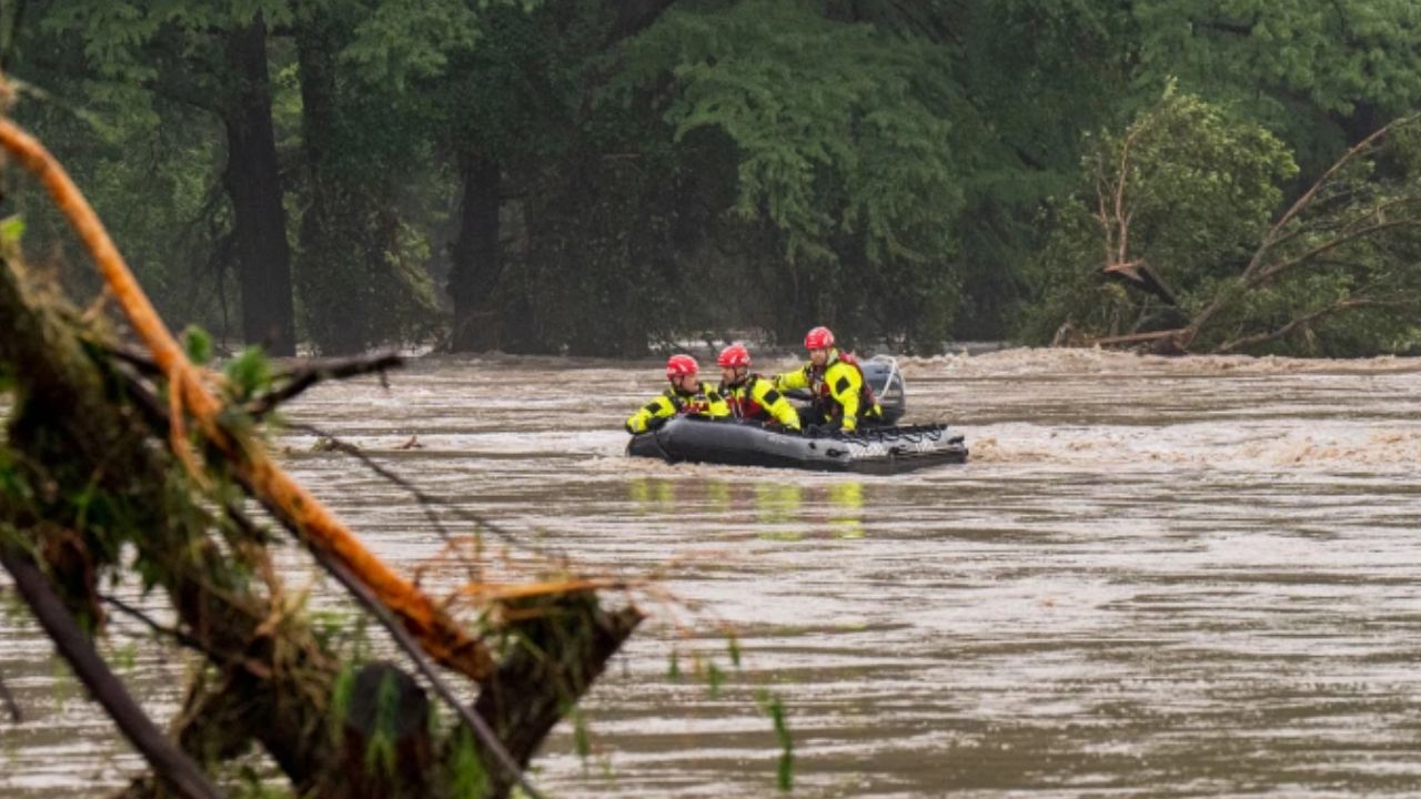
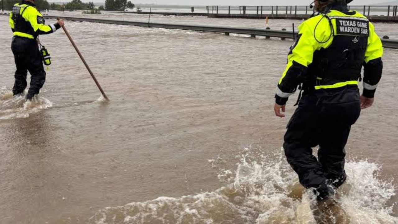
The repeated downpours could trigger localized flash flooding in low-lying and urban areas, while also providing much-needed rainfall to communities experiencing dry conditions.
Residents are encouraged to stay alert for flood advisories and avoid driving through flooded roadways during periods of intense rainfall.
El Niño Expected to Limit Atlantic Storm Activity
Meteorologists say the developing El Niño weather pattern is expected to influence this year’s Atlantic hurricane season.
El Niño, which is associated with warmer-than-average sea surface temperatures in the tropical Pacific, typically increases wind shear across the Atlantic. Those stronger upper-level winds can disrupt developing tropical systems, making it more difficult for storms to strengthen into hurricanes.
Forecasters believe this year’s El Niño could become one of the strongest on record by autumn.
“The quick formation of El Niño and its likelihood to be very strong has prompted us to lower the number of tropical storms slightly to 8–14 from our original prediction of 11–16 in March,” DaSilva said.
Hurricane Forecast Remains Unchanged
Although the expected number of named storms has been reduced, experts continue to warn that the overall hurricane threat to the United States remains significant.
DaSilva said AccuWeather is maintaining its forecast for four to seven hurricanes during the 2026 Atlantic season, along with three to five direct impacts on the United States.
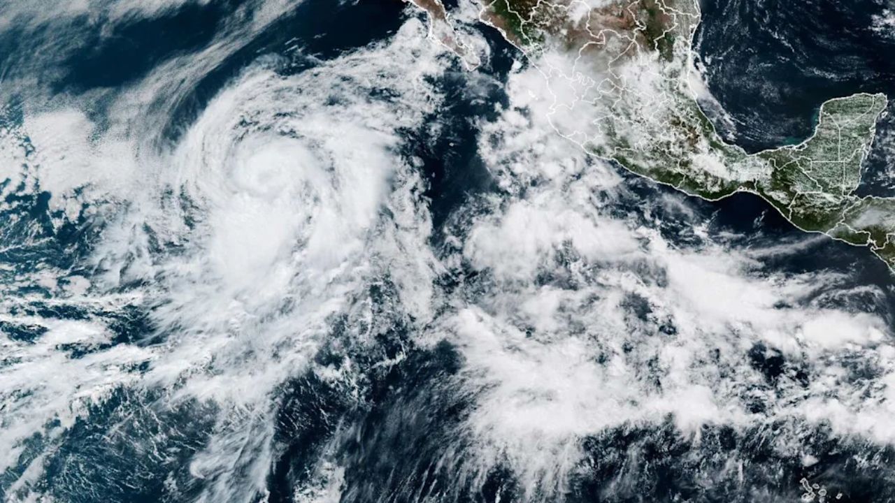
Earlier this season, Arthur became the first named storm after briefly strengthening along the Texas coast in June. While the storm caused only minor property damage, officials believe flooding associated with Arthur contributed to four deaths, including three in the United States and one in Mexico.
Experts stress that even a quieter hurricane season can still produce one devastating storm capable of causing widespread destruction.
“We are maintaining our original forecast of four to seven hurricanes and most importantly three to five direct impacts on the U.S. this season,” DaSilva said.
As forecasters continue monitoring conditions in the Gulf of Mexico, residents across the Southeast are urged to stay informed, review emergency plans, and prepare for periods of heavy rain and possible flooding over the coming days.
What are your thoughts on the developing weather pattern? Do you think Gulf Coast communities are prepared for another potential tropical threat? Share your thoughts respectfully in the comments below.